ABOUT
About this spot
Amami-Oshima is the largest island of the Amami Islands, which stretch south of Kagoshima Prefecture. Its area is 712.35 square kilometers, making it the fifth largest island in Japan if the four main islands are excluded. Most of the island is mountainous, covered with subtropical evergreen broadleaf forest dominated by Sudajii (Castanopsis sieboldii). In July 2021 it was decided that the island would be inscribed as a World Natural Heritage site, together with Tokunoshima, the northern part of Okinawa Island and Iriomote Island.
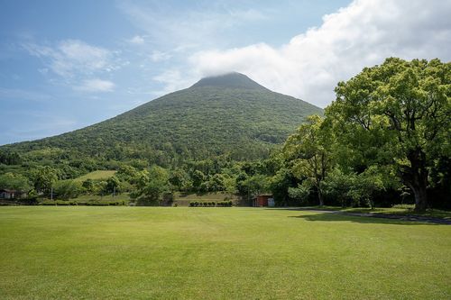
On the island's west coast, in the central-south part, lies the village of Uken. More than 90 percent of the village is low mountains, and its highest point, Mt. Yuwan (694 meters), is also the highest peak of the whole island. Mt. Yuwan is designated a special protection zone of Amami Guntō National Park. There is an observation deck on Mt. Yuwan.
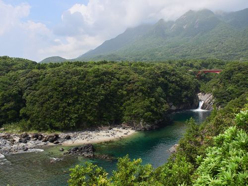
The sea of Uken is led by Yakiuchi Bay, a deep inlet. Fourteen settlements surround the bay; pearls are farmed in the Ashiken settlement, and a third-sector company also raises kuruma prawns. Beyond the bay floats Edateku Island, said to be the largest uninhabited island in the Amami Islands. The Ministry of the Environment's national park introduction page describes a full-day tour that circles the fishing villages of Uken, crosses by boat to Edateku Island, walks the coast, visits a shrine and has lunch on a beach. On the island you may see goats, wild boar and rare birds, and habu snakes also live there.
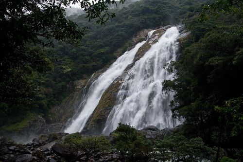
The beaches where you can swim include Yadon, Funakoshi and Taen-hama. A traditional event called "Hamaori" is held on the third day of the third lunar month in the settlements of Ashiken, Heda and Yadon, and at Yadon people pray at the Sangatsu-ishi stone. Mineda-yama Park, Arangachi Falls and the Sotsutakasaki Lighthouse are also known as sights within the village.
The sea around Amami-Oshima is a clear blue and is called "Amami Blue". Sea kayaking flourishes in the Oshima Strait in the south. On land live the Amami rabbit (a special natural monument) and the Lidth's jay, and the mangrove forest in the Sumiyo area is said to be the second largest in Japan after Iriomote Island.
Uken is a small village of fewer than 2,000 people, and the island's highest peak and Yakiuchi Bay lie within the same village. If you plan marine leisure activities, please check the operators' guidance and sea conditions in advance.
Sources
This article was written from the official, municipal and tourism-association sources above, and checked against them separately from the writing. Editorial policy
Last updated November 12, 2026