ABOUT
About this spot
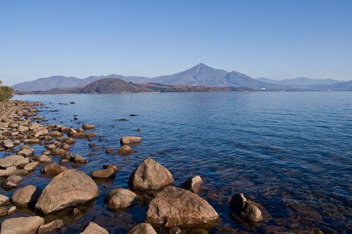
Mount Bandai is a stratovolcano that straddles the town of Inawashiro, the town of Bandai and the village of Kitashiobara in Fukushima Prefecture, rising north of Lake Inawashiro. Its height is 1,816.29 meters, a figure obtained by resurveying in 2010. It lies within Bandai-Asahi National Park and is one of Japan's 100 Famous Mountains, one of the symbols of Fukushima Prefecture. Because its triangular summit is visible from the Aizu Basin side, it has also been called "Aizu Fuji."
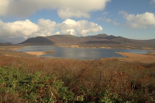
The main peak is O-Bandai, and the name Bandai is sometimes used for the three peaks together with Kushigamine and Akahaniyama. The foot of the mountain is called Omote-Bandai on the south and Ura-Bandai on the north, and the mountain looks entirely different from each. From Omote-Bandai in the south it appears as a single peak, while from Ura-Bandai in the north you see a mountain body that has been dramatically scooped out.
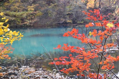
What created this shape was the eruption of July 15, 1888 (Meiji 21). A steam explosion collapsed the northern peak, Ko-Bandai, and a huge debris avalanche buried villages at the northern foot. The collapsed material dammed rivers and created lakes and marshes such as Lake Hibara, Lake Onogawa, Lake Akimoto and the Goshikinuma ponds. The scenery seen in Ura-Bandai today was formed at that time. The torii gate of a shrine is said to remain under the waters of Lake Hibara. The eruption is regarded as the first great disaster of modern Japan, and the relief work by the Japanese Red Cross is regarded as the world's first case of relief in peacetime. There is a memorial near the Goshikinuma ponds.
The barren land left by the collapse was turned green by tree planting funded and carried out by private citizens. As a mountain that conveys both the workings of a volcano and the efforts of people, Bandai was recognized as one of Japan's 100 Geological Sites in 2007 and as a Japanese Geopark in 2011.
For climbing, there are several routes, including the Happodai trailhead and the Inawashiro trailhead. Just before the summit is Kobo-shimizu, a water source whose water is drinkable. Mount Bandai is an active volcano that still shows small-scale fumarolic activity inside the Numanotaira crater and elsewhere, and in December 2022 volcanic earthquakes increased and an extraordinary volcano information notice was issued. Before climbing, check the latest volcano information from the Japan Meteorological Agency and others, as well as trail conditions.
Even without climbing, you can enjoy the mountain's changing faces from the shore of Lake Inawashiro or from the lakes of Ura-Bandai.
Sources
This article was written from the official, municipal and tourism-association sources above, and checked against them separately from the writing. Editorial policy
Last updated November 12, 2026